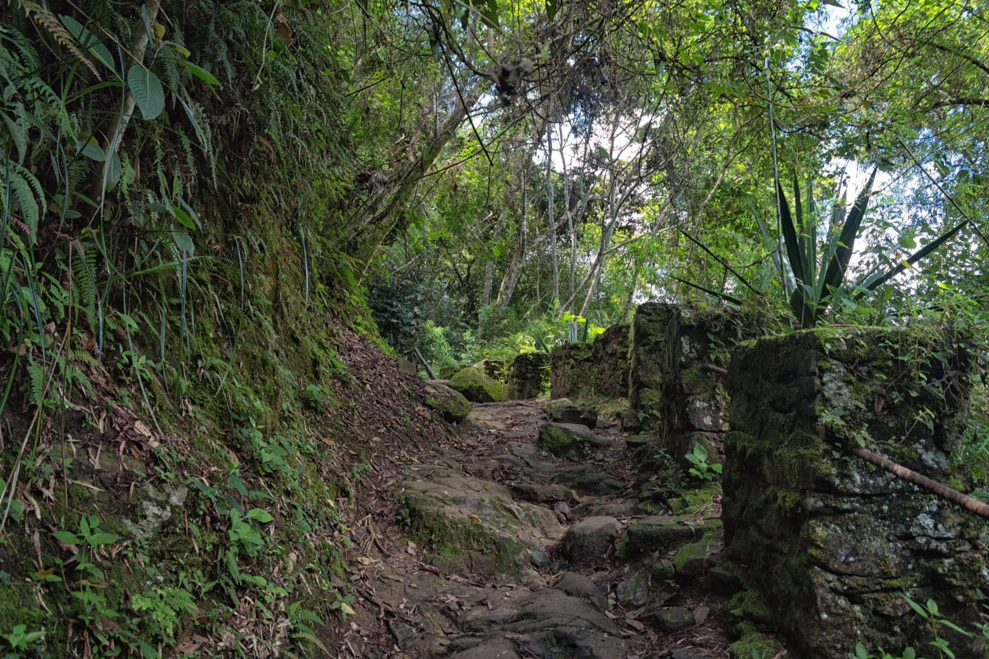
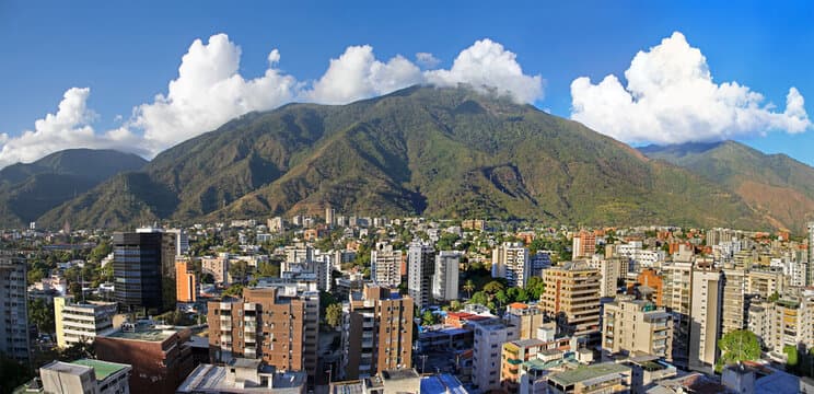
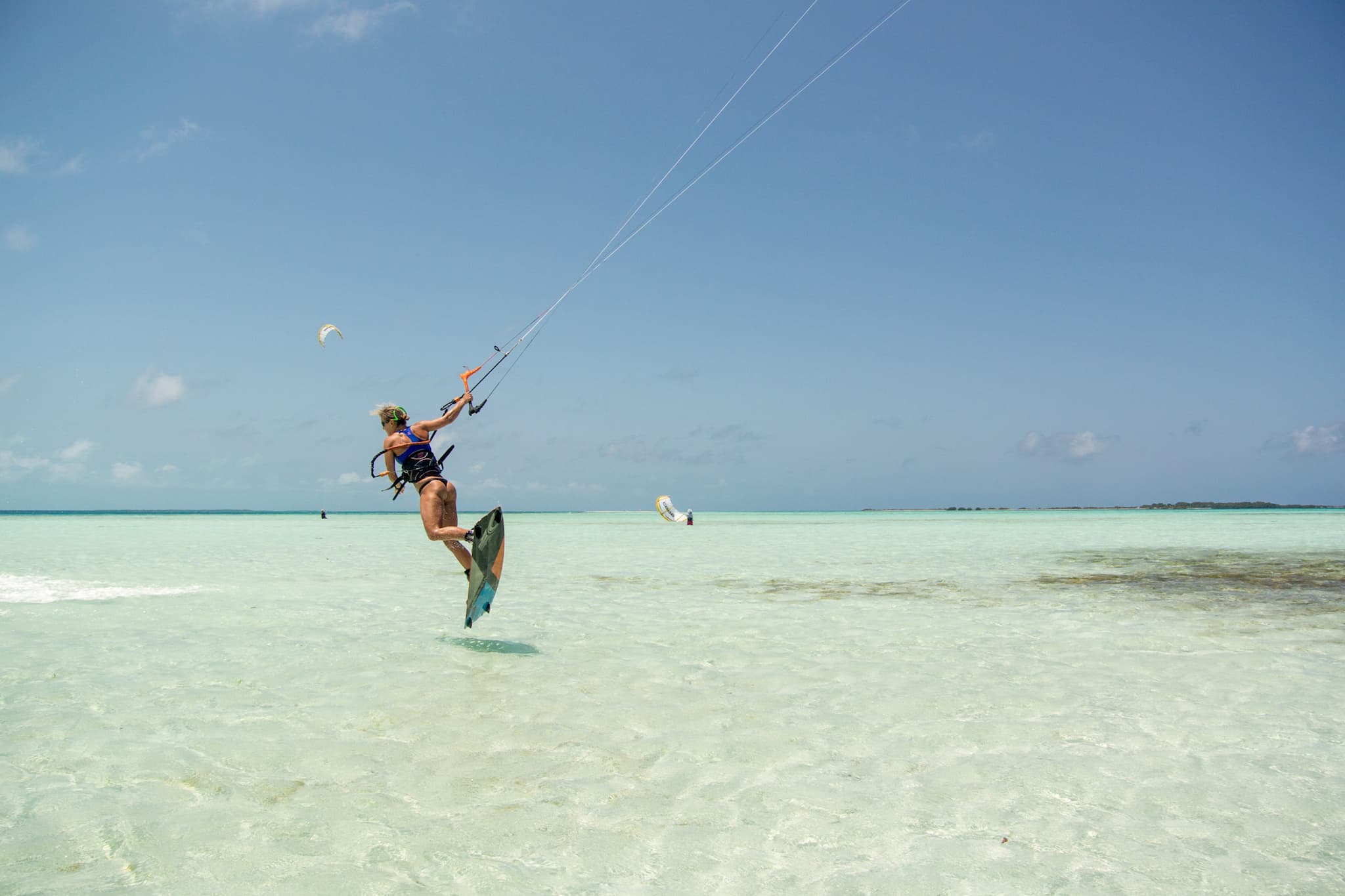
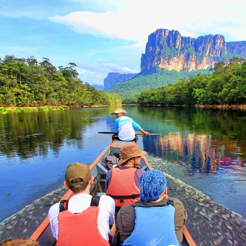
The Gran Sabana: Venezuela's Ancient Savanna and the Greatest Road Trip in South America
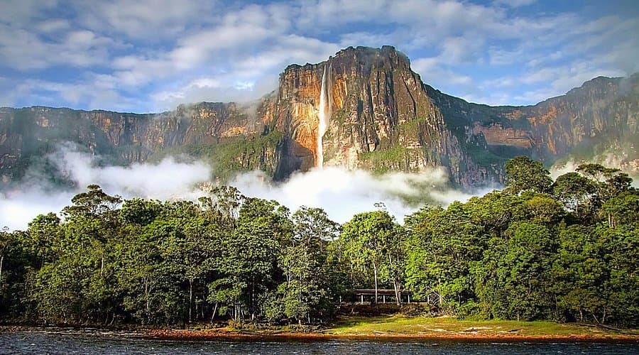
Two billion years ago, this was the floor of a shallow sea. The sandstone compressed, the water receded, and what remained was a plateau so vast it covered much of northern South America. Then erosion went to work — slowly, over geological time scales that make human history look like a rounding error. It carved away everything except the hardest formations. What survived are the tepuis: flat-topped mountains that rise abruptly from the savanna floor like monuments left standing in a demolished building.
The Gran Sabana is what stretches between them. Thirty-five thousand square kilometres of rolling grassland in southeastern Venezuela, punctuated by rivers, waterfalls, and those strange vertical silhouettes on the horizon. The grass is waist-high in places. The sky is enormous. The road — La Troncal 10, the single paved artery running north to south — carries you through a landscape that does not change for hours, and somehow never becomes monotonous. Every twenty minutes, a new tepui appears at a different angle, or a river crosses the road, or a waterfall reveals itself in the middle distance.
This is not Canaima, though they share a national park boundary. Canaima is fly-in, river-expedition, guided-camp territory. The Gran Sabana is a road trip. You drive it. You stop where the landscape tells you to stop. You eat where the Pemon communities feed travelers. You sleep in roadside posadas or campamentos that range from adequate to genuinely comfortable. And at the end of the road — or the beginning, depending on your direction — sits Santa Elena de Uairen, a border town where Venezuela meets Brazil and the savanna gives way to the northern Amazon.
The Pemon people have lived here for centuries, long before the road existed. They named the tepuis, navigated the rivers, and maintained a relationship with a landscape that most outsiders find overwhelming in its scale and emptiness. The communities you pass along La Troncal 10 are not roadside attractions — they are the reason the road exists at all.
We do not yet have dedicated Gran Sabana listings on our platform, though the region overlaps with our Canaima coverage, which has a limited number of verified listings. Expanding Gran Sabana representation is a priority. This guide gives you everything you need to plan the trip regardless.
Quick Facts
| Detail | Info |
|---|---|
| Location | Bolivar state, southeastern Venezuela |
| Area | ~35,000 km² within Canaima National Park |
| Elevation | 800-1,450 m (savanna); 2,810 m (Roraima summit) |
| Best for road conditions | December to April (dry season) |
| Best for waterfall volume | June to October (rainy season) |
| Getting there | Drive from Ciudad Bolivar (8-12 hrs) or fly to Santa Elena de Uairen |
| Typical budget | $60-120/day |
| Key road | La Troncal 10 (Ruta Nacional 10) |
| Vehicle | 4x4 or high-clearance vehicle strongly recommended |
| Climate | 20-30°C; cooler at higher elevations, cold on tepui summits |
| Time zone | UTC-4 (Venezuela Standard Time) |
Why Visit the Gran Sabana
Most of Venezuela's tourist destinations involve a plane, a boat, or a guide telling you where to stand. The Gran Sabana is the opposite. It is the rare place in this country where the experience is defined by driving — by the accumulation of hours on a road that reveals itself gradually, tepui by tepui, waterfall by waterfall, until you realize you have been staring at a landscape that is older than multicellular life.
It is a road trip in a country that does not have many good ones. La Troncal 10 from Ciudad Bolivar to Santa Elena de Uairen is approximately 700 kilometres of paved highway through savanna, over rivers, past waterfalls, and between tepuis. The road was built in the 1970s and, despite decades of deferred maintenance, remains one of the most visually relentless drives on the continent. "Relentless" is the right word — the scenery does not take breaks. There is no boring middle section. For eight to twelve hours (depending on stops, road conditions, and how often the landscape forces you to pull over), the view out the windshield is extraordinary.
The geology is the oldest exposed rock you will ever walk on. The tepuis of the Gran Sabana are Precambrian sandstone — formed 1.7 to 2 billion years ago, before anything with a spine, before plants colonized land, before oxygen reached its current concentration in the atmosphere. Mount Roraima, the most famous tepui and the one you can actually climb, has a summit ecosystem that evolved in near-complete isolation. The rock formations on top look like a science fiction film set, because the forces that shaped them had two billion years and no human reference points.
The Pemon communities are the infrastructure. Along La Troncal 10, Pemon communities operate the posadas, prepare the food, guide the hikes, and maintain the trails to waterfalls and viewpoints. This is not bolt-on cultural tourism. The Pemon are the tourism economy here. Eating casabe at a roadside community, hiring a local guide to a waterfall, buying woven crafts directly — these are not optional enrichments. They are how the trip works.
It connects to Roraima. The Gran Sabana road trip is the natural prologue or epilogue to the Mount Roraima trek, one of the most extraordinary multi-day hikes in South America. Santa Elena de Uairen, at the southern end of La Troncal 10, is the staging point for the Roraima expedition. The drive and the trek are two halves of the same journey.
It pairs with Canaima but stands alone. Many travelers combine the Gran Sabana with a fly-in visit to Angel Falls and Canaima. That combination is excellent. But the Gran Sabana is not a sideshow. It is a fundamentally different experience — self-directed, ground-level, slow — and it deserves its own trip.
Top Things to Do in the Gran Sabana
1. Drive La Troncal 10
The road itself is the main attraction. La Troncal 10 (Ruta Nacional 10) runs from Ciudad Bolivar south through the Gran Sabana to Santa Elena de Uairen, approximately 700 kilometres of paved highway through some of the most visually arresting terrain in South America.
What to expect on the drive:
The first section, from Ciudad Bolivar south through Upata and Km 88 (a gold-mining settlement that marks the informal start of the Gran Sabana), is tropical lowland — green, hilly, unremarkable. Then the road climbs. The forest thins. The horizon opens. And you enter the savanna proper — an expanse of golden grass, flat-topped mountains in every direction, and a sky so wide it makes you conscious of how much atmosphere sits between you and the stars.
The road is paved throughout, but conditions vary significantly. Some stretches are smooth. Others have potholes deep enough to damage a standard car. After heavy rain, water can pool across the road surface. A 4x4 or high-clearance vehicle is not strictly required on the main highway, but it is strongly recommended — and mandatory if you plan to take any side roads to waterfalls, communities, or trailheads.
Driving time: 8-12 hours nonstop, but nobody drives it nonstop. Plan 2-3 days minimum for the one-way journey, stopping at waterfalls, viewpoints, and communities along the way.
2. Trek Mount Roraima (6-7 Days)
Mount Roraima is the most accessible of the Gran Sabana's tepuis and one of the most extraordinary treks anywhere. The summit — a 31 km² plateau of black quartzite, crystal-filled sinkholes, and endemic carnivorous plants — sits at 2,810 metres and is reached by a single viable route called La Rampa, an angled ledge on the cliff face.
The route:
- Days 1-2: Trek from Paratepui (the Pemon trailhead community) across open savanna to the base of Roraima. Camp at riverside sites. The walking is flat but exposed to sun.
- Day 3: The ascent via La Rampa. A steep, physically demanding climb through cloud forest and up the cliff face. Expect 4-6 hours. This is the hardest day.
- Days 4-5: Summit exploration. Navigate labyrinths of black rock, wade through crystal pools, peer into sinkholes that drop into the mountain's interior. Sleep in natural rock shelters (overhangs called "hotels") — no tents needed. The summit is frequently shrouded in cloud, which adds to the disorientation. The Valle de los Cristales (Crystal Valley) contains quartz formations embedded in the rock floor. The Triple Point, where Venezuela, Brazil, and Guyana meet, is marked by a small concrete monument.
- Days 6-7: Descent and return to Paratepui.
Key details:
- Pemon guides are mandatory. No independent trekking is permitted
- Physical fitness required: high. The trek covers 60+ kilometres with significant elevation gain on summit day
- Cost: $500-800+ per person for the full guided trek including food, camping equipment, and guide fees
- Best season: December to April (dry season) for better conditions on the ascent and clearer skies on top
- Departs from Paratepui, accessed via San Francisco de Yuruani on La Troncal 10, south of Km 88
- For detailed Roraima information in the broader Canaima context, see our Angel Falls and Canaima guide
3. Quebrada de Jaspe (Jasper Creek)
A riverbed made entirely of smooth, polished red jasper stone. This is not a metaphor — the creek bottom is solid jasper for several hundred metres, and shallow water flows over it in a continuous sheet, creating a surface that looks like it was installed by a geological sculptor. The red-orange stone, polished by millennia of water flow, is unlike anything else in the world.
Practical: Located near Km 273 on La Troncal 10, a short walk from the road. No guide required to reach it, but Pemon community members are usually present and can provide context. Wear shoes that can get wet — you will want to wade in the creek. The jasper is slippery when wet, so move carefully. Photography is best in morning light when the red stone glows against the dark water.
Important: This is a sacred site for the Pemon. Do not remove any stones. Seriously — do not take jasper. It is culturally disrespectful and technically illegal (this is a national park).
4. Salto Kama
One of the most accessible major waterfalls in the Gran Sabana. Salto Kama drops approximately 50 metres into a broad natural pool surrounded by forest. The falls are reached via a short hike (30-45 minutes) from a Pemon community near the road. A swimming pool forms at the base, and on a hot day after hours of driving, it is one of the best swims in Venezuela.
Practical: Entrance fee paid to the Pemon community that maintains the trail. A guide is available and recommended (they know the trail conditions and can point out flora and fauna). Bring swimwear and a towel. The trail is not technically difficult but involves some uneven terrain and river crossings.
5. Salto Aponwao (Chinak-Meru)
A more remote and less visited waterfall than Kama, Salto Aponwao drops over 100 metres from a sandstone cliff into a forested gorge. Reaching it requires a curiara (dugout canoe) ride across a lagoon followed by a hike. The effort filters the crowds — you may have the viewpoint to yourself.
Practical: Access is from the Pemon community of Iboribo, off La Troncal 10 near Km 250. The community manages access, provides canoe transport, and guides the hike. Half-day excursion. Bring water and snacks. The viewpoint is dramatic — the falls drop into mist and the gorge below disappears into forest.
6. Visit Pemon Communities
The Gran Sabana's Pemon communities are not museum exhibits. They are working settlements where families grow cassava, weave baskets, build curiaras, and maintain a relationship with the landscape that predates the road by centuries. Several communities along La Troncal 10 welcome visitors.
What to expect: Community visits typically include cassava processing demonstrations (watching casabe being made — pressed, dried, cooked on a flat stone — is worth the stop alone), handicraft markets (woven baskets, beadwork, carved wooden figures), and traditional food. Some communities offer guided hikes to nearby waterfalls or viewpoints.
Etiquette: Ask permission before photographing people. Purchase something if you visit the craft sellers. Follow your guide's lead in community spaces. Tipping guides directly is appreciated and appropriate.
7. Cross the Border to Brazil
Santa Elena de Uairen sits directly on the Venezuelan-Brazilian border. The Brazilian town of Pacaraima is a short drive across. For travelers continuing south, this is the gateway to Boa Vista and the northern Brazilian Amazon. For day-trippers, crossing into Brazil means access to better-stocked supermarkets (useful for restocking supplies), ATMs, and a different currency.
Practical: Border formalities exist but are typically straightforward for tourists. Bring your passport. The crossing is busy with commercial traffic — Venezuelans cross for Brazilian goods and vice versa. Currency exchange is available on both sides. Santa Elena itself has more infrastructure than anywhere else on the Gran Sabana route: banks (sometimes functional), fuel stations (critical for the return drive), restaurants, and posadas.
8. Waterfalls Along the Road
Beyond the named falls, dozens of unnamed cascades and swimming holes line La Troncal 10. Some are visible from the road — look for the telltale white streak on a cliff face or a river dropping suddenly into a gorge. Others require short walks through the grass.
Notable stops:
- Salto Yuruani — Near the community of San Francisco de Yuruani, accessible via a short trail from the road
- Quebrada Pacheco — A series of cascades and pools near Km 237, popular with Venezuelan road-trippers
- Salto Kawi — A less-visited falls requiring a longer hike but offering solitude and a pristine swimming hole
Every river crossing on La Troncal 10 is a potential swimming stop. The water is tannin-dark, clean, and warm. Just verify with locals or your guide that the current is manageable.
Where to Stay
Accommodation in the Gran Sabana is limited and basic. This is expedition territory, not resort country. Manage your expectations and you will be comfortable enough.
Santa Elena de Uairen
The border town at the southern terminus of La Troncal 10 has the widest selection of accommodation: posadas, small hotels, and guesthouses ranging from bare-bones to genuinely pleasant. Rooms typically run $15-50/night. Santa Elena is the natural base for the Roraima trek and for restocking before or after the road trip.
Roadside Campamentos and Posadas
Along La Troncal 10, Pemon-run campamentos offer basic accommodation — often rooms with beds, shared bathrooms, and meals included. Some have hammock shelters. Expect $20-40/night with meals. These are not bookable online in most cases — you show up, ask if there is space, and there usually is.
Camping
Wild camping in the Gran Sabana is technically within national park boundaries, which means it requires permits and is not officially encouraged. In practice, some travelers camp near waterfalls or rivers, but you should respect the land and the Pemon communities that manage it. If camping, leave no trace. Ask permission if you are near a community.
On the Roraima Trek
Accommodation on Roraima consists of natural rock shelters on the summit and basic camp sites at the base. Your guide arranges everything. Bring a sleeping bag rated for cool temperatures — the summit drops to near-freezing at night.
We currently have no dedicated Gran Sabana listings on the platform. Browse listings in the broader Bolivar region as we build coverage, or check our Canaima listings for operators who also run Gran Sabana excursions.
Where to Eat
The Gran Sabana is honest about what it offers: fuel for the body, prepared by the people who live here, from ingredients that are either grown locally or trucked in from far away.
Along the Road
Pemon communities along La Troncal 10 serve meals to travelers. The menu is consistent and reliable: grilled chicken, rice, beans, plantains, salad when available, and casabe (cassava flatbread). Fish when the river is producing. Coffee that is strong and sweet. Meals cost $3-8 at community stops.
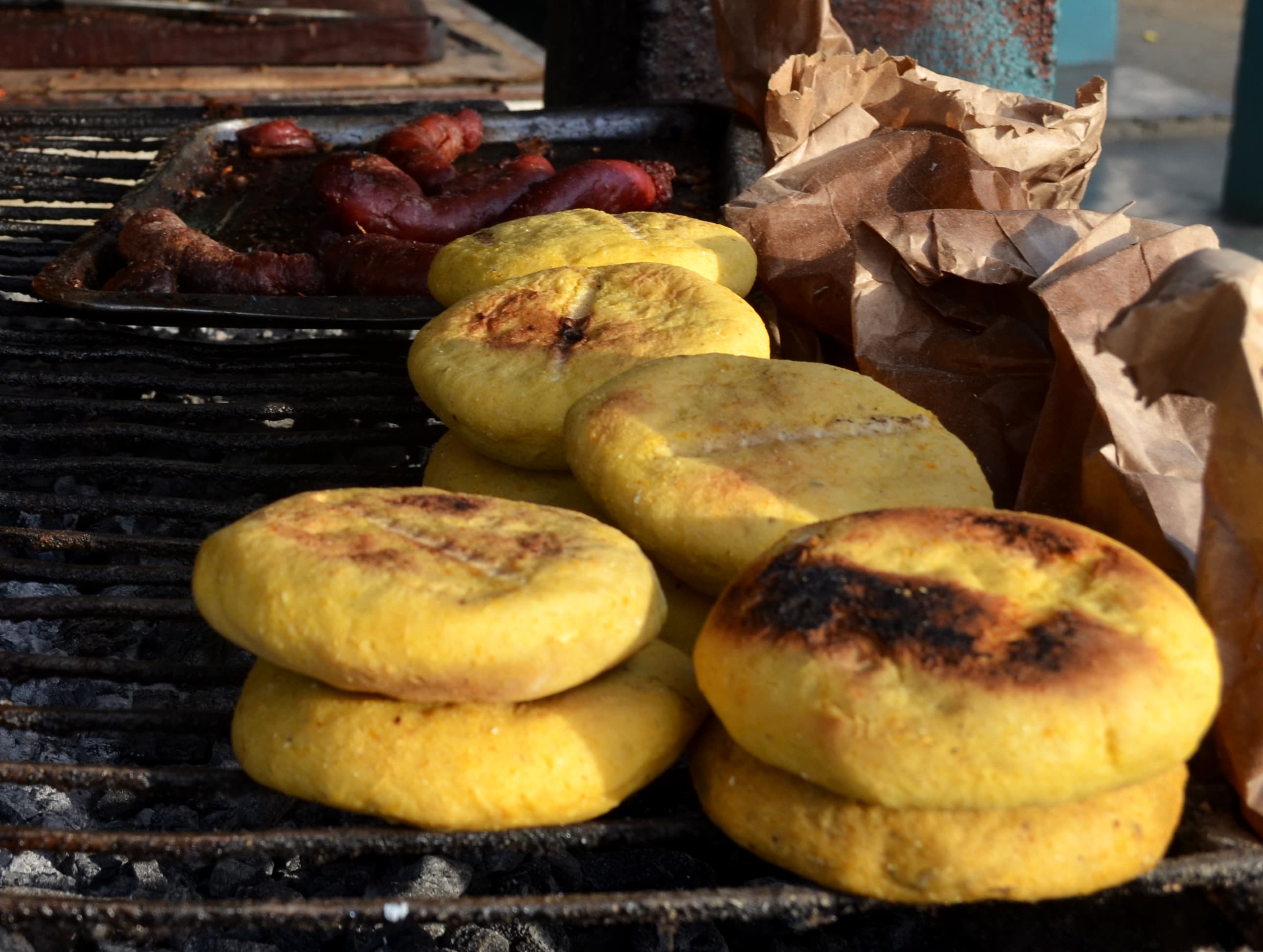
Casabe deserves special mention. It is the staple food of the Pemon — a flat, crisp bread made from processed cassava. It tastes mildly nutty, keeps indefinitely, and is eaten with everything. You will eat a lot of it. You will not get tired of it, because it is a canvas for whatever you put on top.
In Santa Elena de Uairen
Santa Elena has actual restaurants — Venezuelan staples (arepas, empanadas, pabellon criollo), Brazilian-influenced grilled meat (the border proximity shows), and a few places serving pasta and pizza. Quality varies. Prices are low by any standard: $5-15 for a full meal.
The town market is the best place to stock up on fruit, bread, and supplies for the road. Brazilian supermarkets across the border in Pacaraima offer a wider selection if you need specific items.
Self-Catering
If you are driving the Gran Sabana independently, bring provisions from Ciudad Bolivar or Santa Elena. Water, snacks, energy food, canned goods. Meal timing on the road is unpredictable — a community kitchen may be open or it may not, and the next one could be two hours away. Having your own food supply means you eat when you are hungry rather than when the road allows it.
Getting There and Around
Driving La Troncal 10 (The Main Event)
From Ciudad Bolivar: The standard approach. Head south on La Troncal 10 through Upata, Guasipati, and El Dorado (a gold-mining town — do not linger). Pass Km 88 (the informal gateway marker to the Gran Sabana) and begin the climb onto the savanna. Total distance to Santa Elena: approximately 700 km. Driving time without stops: 8-12 hours. With stops: 2-4 days, which is the point.
From Santa Elena de Uairen (driving north): The reverse direction works just as well. Fly into Santa Elena (limited commercial service — check current schedules), rent or arrange a vehicle, and drive north. The advantage: you start with the Roraima trek and finish with the road trip, arriving in Ciudad Bolivar for your departure connection.
Vehicle Requirements
4x4 or high-clearance vehicle: strongly recommended. The main highway is paved, but potholes can be severe after rain. Side roads to waterfalls, communities, and trailheads are unpaved and range from rough gravel to muddy tracks that require four-wheel drive. During rainy season (June-October), some side roads become impassable in a standard car.
Vehicle rental in Ciudad Bolivar is limited. Some travelers arrange 4x4 rental in Caracas and drive south (add a full day). Others hire a driver with a vehicle — this solves both the vehicle problem and the navigation problem, since your driver likely knows every stop on the route.
Fuel Planning
This is critical. Fuel stations along La Troncal 10 are infrequent and not always operational. The fuel situation in Venezuela is unpredictable — stations may have gasoline one day and not the next. Near the Brazilian border, fuel is sometimes available from informal sellers at a premium.
Rules:
- Fill your tank at every opportunity, regardless of the gauge reading
- Carry at least one reserve fuel container (20 litres minimum)
- Ask at Pemon communities about the next reliable fuel point
- In Santa Elena, fuel is generally more available due to proximity to Brazil
- Do not assume the next station will be open. Assume it will not be.
Flying
To Santa Elena de Uairen: Limited commercial flights operate from Caracas and Ciudad Bolivar, but schedules are unreliable. Charter options exist. Confirm availability well in advance. Santa Elena has a functional airport.
To Ciudad Bolivar: Commercial flights from Caracas (1 hour). Ciudad Bolivar is also reachable by overnight bus (8-10 hours) or by driving (8-10 hours on paved highway).
Safety and Practical Tips
The Gran Sabana is a remote logistics trip, not a casual add-on. The tourist route along La Troncal 10 is established and has been traveled safely for decades. The risks are logistical and environmental, not primarily criminal, but the remoteness demands preparation.
Road Safety
- Drive during daylight only. The road has no lighting, and cattle, horses, and pedestrians use it after dark
- Potholes can appear without warning. Drive at a speed that allows you to react
- Carry a spare tire (preferably two), a jack, basic tools, and a tow rope
- Cell service is nonexistent for most of the route. A satellite phone or satellite communicator (like a Garmin InReach) is strongly recommended for breakdowns in remote sections
- If you break down, stay with the vehicle. Other travelers and commercial trucks pass regularly during daylight hours
Illegal Mining Areas
The Gran Sabana sits in a region affected by illegal gold mining (garimpo). Mining activity creates zones with unpredictable security situations, particularly off the main road near the Brazilian border and in areas south of El Dorado. Stay on La Troncal 10 and established side roads. Do not explore unmarked tracks, especially in the areas between Km 88 and Santa Elena. If a local or your guide says an area is not safe, trust them.
Health
- Malaria is present in the Gran Sabana, particularly at lower elevations near rivers. Consult your doctor about prophylaxis before traveling
- Bring a complete first aid kit. The nearest hospital of any capacity is in Santa Elena (basic) or Ciudad Bolivar (better). For serious emergencies, evacuation to Caracas or across the border to Brazil may be necessary
- Travel insurance with medical evacuation coverage is essential, not optional
- Water from rivers and streams should be treated (purification tablets or filter). Bottled water is available at communities and in Santa Elena
- Insect repellent (high DEET concentration), sunscreen, and a hat are daily necessities
- On the Roraima trek, altitude and cold are additional factors. The summit sits at 2,810 metres and temperatures drop near freezing at night. Bring layers
Money
- Bring all the cash you will need in USD. Small bills ($1, $5, $10, $20) are essential — nobody on the road can break a $100
- There are no reliable ATMs along La Troncal 10. Santa Elena has banks, but functionality is intermittent
- Card payment is not available outside of Santa Elena (and barely there)
- Budget $60-120 per day covering fuel, food, accommodation, guide fees, and waterfall entrance fees
- Tip guides directly and generously. This is their livelihood
Indigenous Areas and Respect
The Gran Sabana is Pemon territory. The communities you visit, the guides you hire, and the trails you walk are maintained by people whose relationship with this landscape is measured in centuries.
- Always ask before photographing people or their homes
- Pay entrance fees to waterfalls and communities without negotiating. These fees maintain the trails and support families
- Do not remove rocks, plants, or artifacts from the national park. This includes jasper from Quebrada de Jaspe
- Follow your guide's instructions about where to go and what to avoid
- Learn a few words of Spanish (Pemon communities are bilingual, but Spanish is the working language with visitors)
For current safety advisories and detailed regional information, visit our safety page.
Sample 7-Day Road Trip Itinerary
Day 1: Ciudad Bolivar
Arrive in Ciudad Bolivar by air or road from Caracas. The colonial city sits on the Orinoco River and serves as the staging point for everything south. Explore the Paseo Orinoco, the cathedral, the historic center. Stock up on supplies: water, snacks, fuel containers, cash in small bills. Confirm your vehicle is ready (rental, private, or hired driver). Overnight in Ciudad Bolivar.
Day 2: Ciudad Bolivar to Km 88 Area
Early departure south on La Troncal 10. The first section through Upata and El Dorado is lowland tropical — green and hilly. El Dorado is a gold-mining town; pass through without stopping. Approaching Km 88 (the informal gateway to the Gran Sabana), the road begins to climb and the forest opens. Fill the tank at Km 88 if fuel is available. Continue to a campamento or posada in the Km 88-Km 120 area. Overnight on the road.
Day 3: Km 88 to Quebrada de Jaspe
Full day in the Gran Sabana. The road climbs onto the savanna proper and the tepuis begin appearing on the horizon. Stop at waterfalls visible from the road — Quebrada Pacheco is a good mid-morning stop for a swim. Continue south. Arrive at Quebrada de Jaspe (near Km 273) in the afternoon. Wade in the jasper creek, take in the absurdity of a riverbed made of solid semi-precious stone. Overnight at a nearby campamento.
Day 4: Salto Kama and Salto Aponwao
Morning visit to Salto Kama — the short hike and the swimming pool at the base are worth the stop. If time and energy allow, continue to the Pemon community of Iboribo for the curiara ride and hike to Salto Aponwao. This is a half-day excursion but one of the most rewarding waterfalls in the region. Return to La Troncal 10. Overnight at a campamento near the Yuruani area.
Day 5: San Francisco de Yuruani and Santa Elena
Morning stop at Salto Yuruani near the community of San Francisco de Yuruani. This is the staging point for the Roraima trek — if you are adding Roraima to your trip, this is where you would begin the 6-7 day diversion (see the trek section above). Continue south to Santa Elena de Uairen (approximately 90 km from Yuruani). Arrive in town by afternoon. Resupply. Walk across the border to Pacaraima, Brazil, if you want the border crossing experience or need Brazilian-stocked supplies. Overnight in Santa Elena.
Day 6: Santa Elena Rest Day or Excursion
Options: rest day in Santa Elena (the town has restaurants, markets, and a slower pace than the road). Or: day trip to the Rapidos de Kamoiran, a series of river rapids and swimming holes north of town. Or: arrange a Pemon-guided day hike to a nearby tepui viewpoint. Use the day to eat well, wash clothes, and prepare for the return drive. Overnight in Santa Elena.
Day 7: Return Drive North
Depart Santa Elena early. The return drive north offers the same scenery from the opposite direction — and you will notice things you missed heading south. Stop at any waterfalls or viewpoints you skipped on the way down. The drive back to Ciudad Bolivar takes 8-12 hours if you push through, or you can break it into two days with an overnight near Km 88. Arrive in Ciudad Bolivar for your connection north.
Extend the trip: Add the Mount Roraima trek (6-7 days) from Day 5 at San Francisco de Yuruani. Or add a fly-in trip to Angel Falls and Canaima (3-4 days) from Ciudad Bolivar at the end.
Build your own version: Our AI trip planner can design a custom Gran Sabana expedition based on your timeline, vehicle situation, fitness level, and interests.
Frequently Asked Questions
When is the best time to drive the Gran Sabana?
Dry season (December to April) is better for road conditions — fewer potholes filled with water, side roads more accessible, less risk of mud on secondary tracks. Skies are clearer, and the savanna grass turns golden. The tradeoff: waterfalls are less impressive with lower water volume. Rainy season (June to October) brings full waterfalls and greener landscape, but the road can be more challenging, side roads may become impassable, and afternoon downpours are daily. The compromise: late November or early December, when waterfalls still carry good volume but the rains are tapering off and road conditions improve.
Do I need a 4x4?
For La Troncal 10 in dry season, a high-clearance 2WD vehicle can manage the main highway, though potholes will test your patience and your suspension. For side roads to waterfalls, for rainy season travel, or for any route off the main highway, a 4x4 is necessary. If you are doing the trip once, get a 4x4. The peace of mind is worth the cost.
How physically demanding is the Roraima trek?
Genuinely demanding. The trek covers 60+ kilometres over 6-7 days, including a strenuous summit ascent on Day 3 that climbs roughly 1,000 metres via a steep, slippery rock ledge. The summit exploration involves scrambling over uneven quartzite formations. You do not need to be a mountaineer, but you need solid cardiovascular fitness, strong legs, and comfort with multi-day hiking in variable weather. The descent is harder on the knees than the ascent. Train for this trip.
Is the Gran Sabana safe?
The tourist route along La Troncal 10 has been traveled safely for decades. The primary risks are logistical — vehicle breakdowns in remote areas, fuel shortages, and road conditions — rather than criminal. Stay on established routes, avoid areas associated with illegal mining, travel during daylight, and follow local advice. The Pemon communities are welcoming and the route is well-known. That said, this is remote territory with no cell coverage and minimal infrastructure. Preparation is your safety net.
Can I do the Gran Sabana without a car?
Difficult but not impossible. Infrequent buses run from Ciudad Bolivar to Santa Elena de Uairen, but they do not stop at waterfalls and the schedule is unreliable. Some travelers hitchhike, which is common on La Troncal 10 but unpredictable. The most practical non-car option is hiring a driver with a 4x4 from Ciudad Bolivar or Santa Elena — this gives you the flexibility of a road trip without the vehicle logistics. Tour operators in both cities offer Gran Sabana packages with transport included.
How does this differ from Canaima?
Canaima is fly-in, guided, and centered on Angel Falls and the river expedition. The Gran Sabana is drive-in, self-directed, and centered on the road trip experience, waterfalls, and the Roraima trek. They share a national park and a geological heritage, but the experience is fundamentally different. Canaima is a guided expedition. The Gran Sabana is an adventure you navigate yourself. Many travelers combine both — fly into Canaima (the only scheduled service now runs from Caracas on CONVIASA, Thu/Sun; the Ciudad Bolivar route is charter-only), then drive south through the Gran Sabana to Santa Elena — which gives you the complete spectrum. See our Canaima and Angel Falls guide for the fly-in side.
What about fuel?
Fuel is the single most important logistical concern on the Gran Sabana road trip. Stations are infrequent and may not have supply when you arrive. Fill up at every opportunity. Carry a reserve container (20 litres minimum). Ask locals about fuel availability at the next stop. Near Santa Elena, Brazilian fuel is sometimes available at a premium. Do not start a day of driving with less than a half tank. This is not an exaggeration — running out of fuel in the middle of the savanna with no cell service is a serious situation.
Do I need to speak Spanish?
It helps significantly. Pemon communities along the route speak Pemon and Spanish. English is rare outside of the occasional tour operator in Santa Elena. Basic Spanish — enough to ask for directions, order food, negotiate accommodation, and understand safety information — will make the trip substantially easier and more rewarding. Translation apps work, but remember: no cell service on most of the route means no internet-based translation.
---
The Gran Sabana does not perform for visitors. It simply exists — ancient, vast, indifferent to schedules — and you drive through it at whatever pace the road and the landscape allow. Use our AI-powered trip planner to build a custom Gran Sabana expedition around your dates, vehicle, and ambitions.
Browse Gran Sabana and Bolivar state listings on Vamos A Venezuela.
Written by VAV Editorial
Last updated: August 12, 2026